 |
| draft West Salem Business District Action Plan (Nov 2015) |
| Plan Map, November 2015 (comments added in red) |
- A path or fully roadway connection to Glen Creek Road across the hill slope has been deleted. This is disappointing for Walker Middle School and for people on foot and on bike who might not wish to contend with the perilous Wallace and Glen Creek interchange. (See #3 on earlier map below.)
- Local connectivity is mostly lost from the Second Street extension to the cluster of businesses and roads along Bartell, Moyer, and Glen Creek. (See #2 and #6 on earlier map.)
- The undercrossing is retained. (More on this in a moment.)
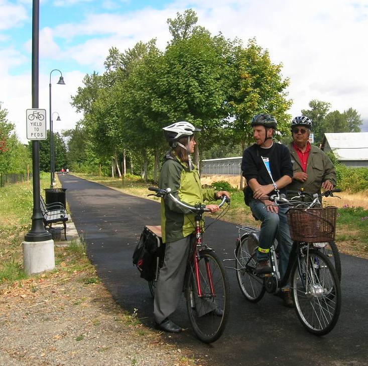
- Not numbered on the map, but disappointing is the way Marine Drive intrudes on the park to connect with the Second Street extension, and ensures that people on foot and on bike totally lose the path system at the west side of the bridge landing for the Union Street Railroad Bridge. (See photo of path below.)
 |
| Earlier version (with different numbering) Executive Summary, June 26th |
For drivers on Wallace, an at-grade crossing exacerbates lane-change weaving, and impedes queuing and flow; and for people on foot and on bike trying to cross, an at-grade crossing offers more exposure to cars and traffic and is more dangerous. This is a case where the undercrossing better serves the unfortunate fact of Wallace being a high-volume stroad and state highway, and better serves people on foot an on bike with a much lower-stress crossing environment.
 |
| The path may become Marine Drive and Second Street Research for the Sustainable Cities Initiative residency, 2010 |
Maybe the most interesting new element in the plan is talk about the possibility of a new System Development Charge:
Evaluate Supplemental Transportation SDC. This concept has been used in other communities. The financial feasibility has not been investigated and further evaluation is recommended. A supplemental transportation system development charge (SDC) would allow new development to pay a proportionate share of major infrastructure improvements based on their level of impact on the transportation system, allowing the City to collect funds while continuing to approve development.Of course, this should be extended to the idea of the Third Bridge itself!
This, I think, fundamentally misunderstands the problem.
Blank walls are boring, lifeless, and rob the street of activity that would make it a "place" and create a structure that captures value for merchants and property owners.
Edgewater is actually not that difficult to walk. It's just empty, especially in that industrial zone between Patterson and Wallace.
Rather than the blank walls, what makes Edgewater tricky for people on bike is the speed of traffic, and the narrow bike lanes constantly in the door zone. The bike lanes especially fail the 8 to 80 test.
But Edgewater itself doesn't get much attention. Because of the shadow cast by the prospect of the Third Bridge, even though parts of Edgewater retain mid-century character and have great potential, about improving Edgewater itself the study mostly says ¯\_(ツ)_/¯ and chooses to focus elsewhere. That neglect and indifference is an indirect cost of the bridge.
Most of the other recommendations continue and extend those developed in the Edgewater Second Street Action Plan. Much of it is a move away from fronting the streets with parking lots and buildings set way back, and instead greeting the sidewalk with neo-traditional "main street" development of continuous building frontage and a variety of storefronts and windows. Second Street and the east side of Glen Greek between Wallace and the park come in for particular focus.
For all notes on the Edgewater District see here. These include notes on the undercrossing and West Salem Business District Plan, the Edgewater/Second Street Plan, and the Goodwill project on the corner. At the moment there are several moving parts, and I'm not sure everything ties up neatly quite yet!


No comments:
Post a Comment