Lots of interesting transportation items on the agenda for Council on Monday!
As she promised, Councilor Stapleton proposes to include a commitment to Vision Zero in the update to the Transportation System Plan. This would be a good move! But it is important to acknowledge that here in the US, Vision Zero plans have been more talk than walk, with local governments generally unwilling to make the hard decisions and actions necessary to make Vision Zero more than merely ornamental.
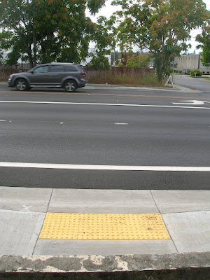
The City proposes two applications for the Community Paths Fund, one would complement the partial bond funding for the path along Pringle Creek between Mirror Pond and Riverfront Park, the other a footbridge over OR-22 in the area of Bill Riegel Park and Miller Elementary School.
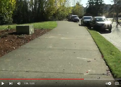
Significantly, local trails advocate Mark Wigg has proposed a volunteer-built soft trail along the alignment, and as a temporary measure this is something worth strong consideration.
 |
Highlighting the Oregon Electric
|
The City also proposes to signal formal support for an expansion of Westside Express Rail along the Oregon Electric Alignment as in HB 2662. I have been skeptical of this, and the ODOT Passenger Rail project chose the current Amtrak alignment as the best choice. But if there really is momentum for this, momentum that would bring it along faster than improvements to Amtrak service, it would merit reassessment.
 |
Paint-only bike lanes, big widening
|
The intersection on McGilchrist at 22nd is short $4.5 million and the City proposes to use URA funds to meet the gap. Significantly, the project has not yet gone to bid, and further cost escalation is possible. This project and phase was prior to the big Federal grant, and was not included in it. The drawing in the materials at Council shows an old-school, paint-only bike lane, center turn pockets, and an additional east-bound car/truck travel lane to 25th. It does not use elements of contemporary best practices for urban intersections, and it is not nearly as wonderful as earlier drawings and talk suggested.
And there is a complicated land swap between the State of Oregon and the City of Salem at and around Geer Park and the State Hospital. The Geer line railroad alignment is part of it, and it will take more time to understand it all. We'll update here in the next day or two.
Addendum, January 21st - Geer Park Swap
A decade ago when Bike & Walk Salem was finalized, Park Avenue, the logical axis through the State Hospital area and connection to Geer Park from the north, was deliberately omitted as a public way for walking and biking. The State did not want people traveling by the new State Hospital facilities or the Prison. Consequently the maps designated Illinois and Vineyard Avenues as the preferred route to Geer Park and for north-south connections.
The proposed land swap will now recognize Park Avenue south of Center Street as a public way. It will not connect with a meaningful bike lane on Park Avenue north of Center Street, however. Neighbors complain, in fact, about speed on that segment of Park Avenue.
But the swap will also include a "pedestrian easement" on Recovery Drive and the City will put in an enhanced crosswalk where Recovery Drive intersects with Park Avenue.
As I read it, this makes possible a bike connection to 23rd Street north of Center Street. (If the agreement is written for pedestrian only, and meant to exclude bike travel, then that's a problem!)
 |
Summary of changes (notes in red added)
|
The City will also give up a section of the old Geer Line right-of-way west of Park Avenue, approximately along the phrase in red. Maybe the City had to give that up in order to get some other elements in the deal, but that still seems like a potential loss. The ownership of the ROW is so fragmented now, and some owners have even built on it east of Lancaster Drive, and perhaps any hope for it as a trail is irrevocably gone. But even a trail between 14th Street and Geer Park could have been useful.
But all in all, in thinking about what has gone before, and about what kinds of conditions the State might insist on, this seems like a reasonable outcome and an advance for connectivity.
Addendum, February 4th
The minutes from the January SPRAB meeting have more on the prospects for the Pringle Creek Path.
 |
January SPRAB draft minutes
|
The doubt here contrasts strongly with the tone projected in the bond. The City should have been more clear in the bond materials about the project's difficulties.


